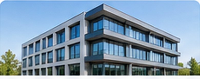
Building scanning
As-built 3D surveys of existing buildings for renovation, redevelopment and facility planning.

Scanwerf helps document existing conditions with on-site 3D laser scanning and registered point clouds for renovation, engineering and Scan-to-BIM. Request a quote tailored to your project.
WHAT WE DO
From on-site capture to usable point cloud data, with a scope tailored to your design, renovation or engineering workflow.
As-built 3D surveys of existing buildings for renovation, redevelopment and facility planning.
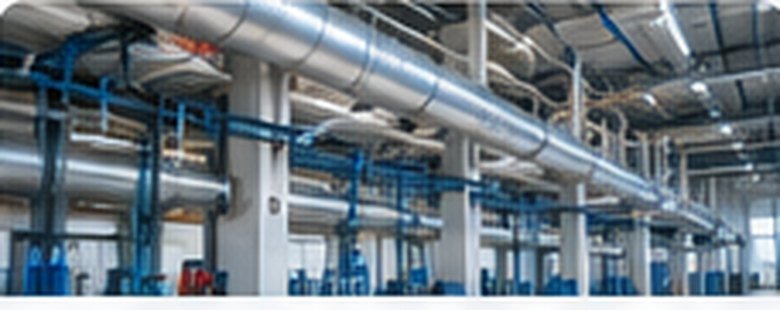
Scanning of plant rooms, pipework and installations. Scope and safety requirements are agreed in advance.
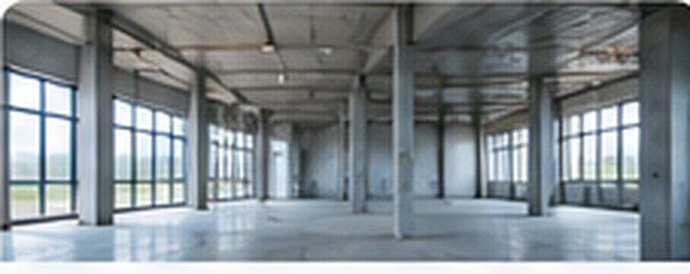
3D surveys of offices, retail premises and business facilities for design and fit-out.
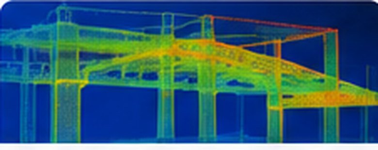
Registration, quality checks and delivery of point clouds in the agreed format.
FOR PROFESSIONALS
Survey information for professionals who need a dependable picture of existing site conditions.
A spatial basis for design and refurbishment.
Survey data for engineering and technical analysis.
Point clouds for Scan-to-BIM workflows.
An accurate understanding of existing site conditions.
A CLEAR WORKFLOW
Tell us the location, scope and required deliverables.
We agree accuracy requirements, schedule and output format.
The survey takes place at the agreed location.
We register and quality-check the data.
You receive the agreed files and supporting project information.
OUR APPROACH
GOOD TO KNOW
Pricing depends on floor area, layout, complexity, site location, accuracy requirements and deliverables. Send us your project information for a tailored quote.
Project accuracy is specified in advance based on the site, surveying approach and control requirements. Scanner specifications do not automatically equal final deliverable accuracy.
E57 is a common exchange format. Other formats, such as RCP, LAS or project-specific exports, depend on the agreed workflow and software.
Timing depends on scheduling, site access and the complexity of registration. The quotation will include an estimated schedule.
Our core service is on-site scanning and point cloud processing. BIM modelling options can be explored with a specialised partner when needed.
Yes. The quote form accepts PDF, JPG and PNG files. Large CAD or BIM files can be shared separately by arrangement.
TELL US ABOUT YOUR PROJECT
Share the site location, approximate area and required deliverables. We will review the request and discuss scope, timing and cost.
Share the site location, approximate area and required deliverables. We will review the request and discuss scope, timing and cost.